Over 50 protected public lake and river access sites
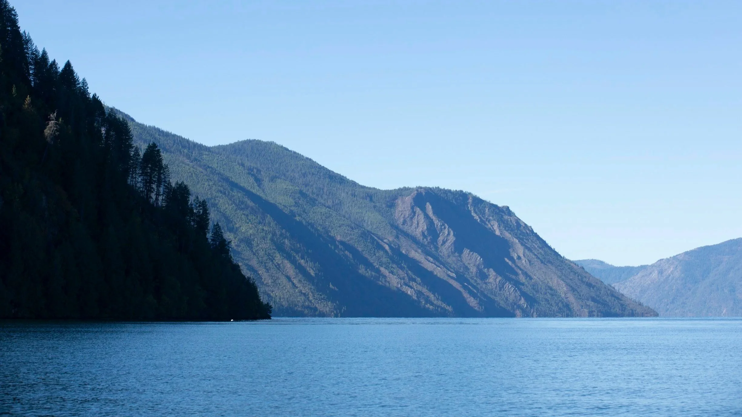
Lake Pend Oreille stretches between the Selkirk, Cabinet, and Coeur d’Alene mountain ranges. It is Idaho’s largest lake and, at 1,158 feet deep, the fifth deepest in the United States. Its waters flow west into the Pend Oreille River, linking communities and places where people have gathered, worked, and enjoyed the water for generations.
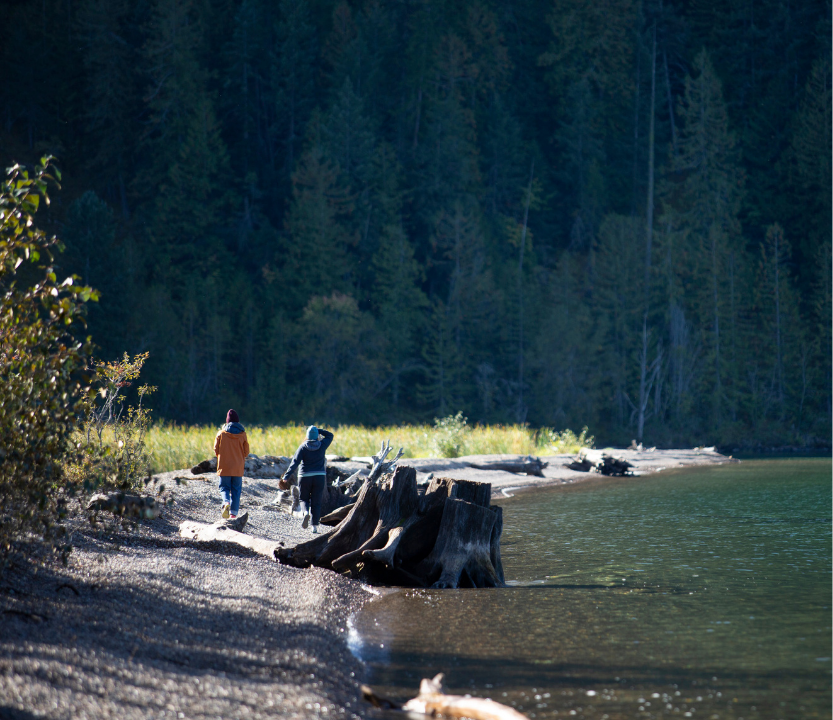
Together, the lake and this stretch of river offer more than 160 miles of shoreline to explore. The Pend Oreille Water Trail brings 56 public access sites along those shores into one guide. Some may be familiar places you’ve visited for years; others may give you a reason to take a new turn on your next outing.
Start near Priest River and follow the map east toward the lake. The route reaches north into Sand Creek at Sandpoint, continues around the lakeshore, then returns west along the river to Albeni Falls Dam. You can use the map to find a place to get close to the water, plan a day out, or see a favorite stretch of shoreline in a new way.
At each stop, there’s more to discover than a view. The water trail invites locals and visitors alike to enjoy the lake and river while exploring the stories that have shaped their shores.
The Pend Oreille Water Trail is a work in progress. There are more than 90 public access sites around the lake and river. Project partners are assessing each site and identifying needed improvements. As sites are improved and ready to welcome visitors, more will be added to future editions of this map.